Scenic Drives
The scenery in and around Granby is absolutely stunning and worth exploring. It is near impossible to cover all of this area by foot, but you can explore some incredible places by car. So get out your roadmaps–here are some beautiful scenic drives that shouldn’t be missed when you visit Granby.
Colorado River Headwaters Scenic Byway
Length: 80 miles
Driving Time: 1.5 hours one-way
Starting at the mouth of the Colorado River in Rocky Mountain National Park, this scenic byway is one not to miss if you’re traveling to Granby. The Colorado River Headwaters Scenic Byway is around 80 miles in its entirety, passing through the towns of Grand Lake, Granby, Hot Sulphur Springs, and Kremmling. The road follows the bends of the Colorado River, eventually bringing you on a gravel road through Upper Gore Canyon and all the way to the town of State Bridge.
There are many outdoor activities and Rocky Mountain adventures to be had while traveling this route. You can explore Lake Granby by boat, discover whitewater rafting or fishing on the Colorado River, or even take a hike on one of the many trails you will encounter along the way. In Hot Sulphur Springs, there are even hot spring pools available for soaking if you want a break during the drive.
Cottonwood Pass (County Road 55)
Length: 10 miles
Driving time: 20 minutes one-way
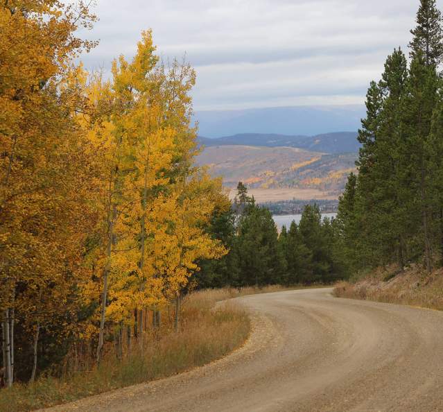
Cottonwood Pass Road is a scenic route that takes you through aspen trees, pine forests, and some of the surrounding mountains. It begins off of US Hwy 40 about 4 miles southeast of Granby, eventually looping you west around to the town of Hot Sulphur Springs. This road is best traveled from May through October as snow makes it unpassable during the late fall and winter months. It’s especially beautiful in September when the leaves turn to gorgeous golds, oranges, and reds.
This route is a bit “off the beaten path” and allows you to view free range livestock grazing in the surrounding fields as well as beautiful natural streams and seclusion. Although National Forest land is accessible, it passes through a few private ranching properties. Be sure to plan ahead if you would like to hike or camp in this area.
Ute Pass (County Road 3)
Length: 27 miles
Driving time: 40 minutes one-way
Ute Pass is a popular scenic route for locals that is used to travel between the towns of Parshall, about 15 miles west of Granby, and Silverthorne. It’s one of the best scenic drives in Colorado.
Along this route, you’ll experience pristine views of true Rocky Mountain wilderness as you weave your way through the Arapaho and Roosevelt National Forests. Be on the lookout as you pass by the Henderson Mill and Williams Fork Reservoir. Hiking is easily accessible in many areas, as is fly fishing as the road runs nearby the Williams Fork River for much of the drive.
Trail Ridge Road
Length: 48 miles
Driving time: 2 hours one-way
Beginning in the town of Grand Lake, Trail Ridge Road travels east through Rocky Mountain National Park and has some of the best views in the area. A “bucket list must-do” for many, this road is the highest continuous paved road in the country that eventually ends up in the picturesque mountain town of Estes Park.
At its highest elevation, Trail Ridge Road reaches 12,183 feet. The cliff-hugging highway is as impressive for its engineering as for its stunning vistas. Much of the drive is above the treeline, and sightings of marmots, bighorn sheep, elk, and other wildlife are common. The road is entirely paved, but is only able to be fully accessed during the months of May or June through October due to snow in the winter months.


